| Schwierigkeit |
mittel
|
|
Aufstieg
|
477 hm |
|
Abstieg
|
479 hm |
| Tiefster Punkt | 849 m |
| Höchster Punkt | 1326 m |
|
Dauer
|
2:59 h |
|
Strecke
|
8,8 km |
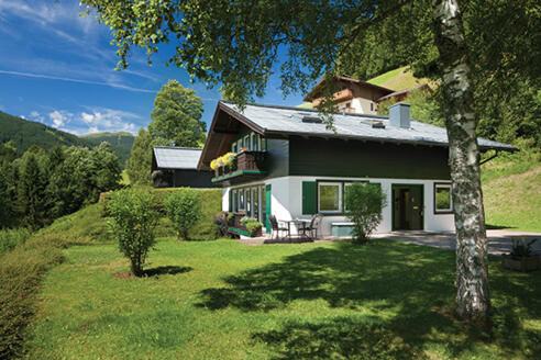
HPB Viehhofen: Hecherhuette

Quelle/Autor: Holiday Property Bond Walks

Foto: Holiday Property Bond Walks, Holiday Property Bond Walks
Die Tour
Quite a hard circuit on the valley side above Viehhofen, with prolonged but steady gradients. The reward is the attractive countryside and the great views over the Glemm valley, across to the Schmittenhohe and its companions.
Quite a hard circuit on the valley side above Viehhofen, with prolonged but steady gradients. The reward is the attractive countryside and the great views over the Glemm valley, across to the Schmittenhohe and its companions.
The Hecherhutte is a mountain hotel/restaurant.
WALK
Leave the HPB properties along a rising track with a 'Hecherhutte' signpost, reaching a roadway in about 100m. Turn right, uphill, heading for detached houses. At a junction fork right, uphill. Pass between houses to a 'T' junction.
1. Turn right; there is a 'Hecherhutte' sign. The unsurfaced roadway rises relentlessly up the valley side, with some woodland sections. Pass a sign 'Hecherhutte Huttenweg'. To the right is a valley with a mountain stream (the Rottenbach) and more varied woodland. Turn sharp left close to the stream ('Hecherhutte' sign). Pass a well-placed seat and cross an Alpine pasture, rich in wild flowers before before reaching pine forest and an agricultural building.
2. At a gate, with another agricultural building behind do not go through. There is a 'Hecherhutte' sign pointing up a narrow path on the right, rising past a seat. This path is the 'Huttenweg 8', an attractive link between roadways. Take this apparently unpromising path into woodland, soon crossing an inclined bridge. The path remains narrow and there are more signs before a bridge over the main stream is crossed, followed by a third bridge before an unsurfaced road is joined, close to a seat.
3. Go straight ahead for 'Hecherhutte', downhill, passing a cattle grid and above the top station of a ski lift, then another cattle grid and a sign. Go through a gate with turnstile and a pretty waterfall to the left. The roadway passes below the Hecherhutte, which is reached by a short diversion to the left, before joining a more important roadway.
4. Continue downhill. This section of the route has several electrified gateways, with stiles, on its long descent to Viehhofen. Join a tarmac road, turning right, still descending. Go over a bridge, pass the Germeindeamt and the Oberwirt Gasthof before reaching the valley road by the general store.
5. Turn right to walk for about ¾ km (½ mile) to the Förstereck bus stop, either on the roadside footpath or by finding tracks on the far side of the road. Just beyond the bus stop fork right up a little road, passing the house 'Förstereck'. Turn left to cross a little bridge over a rushing stream, now on a footpath. Join the minor HPB access road opposite the properties.
Info
Karte
Details
|
Kondition
|
|
| Technik |


