| Schwierigkeit |
mittel
|
|
Aufstieg
|
50327 hm |
|
Abstieg
|
49850 hm |
| Tiefster Punkt | 324 m |
| Höchster Punkt | 2802 m |
|
Dauer
|
462:53 h |
|
Strecke
|
1.089,9 km |
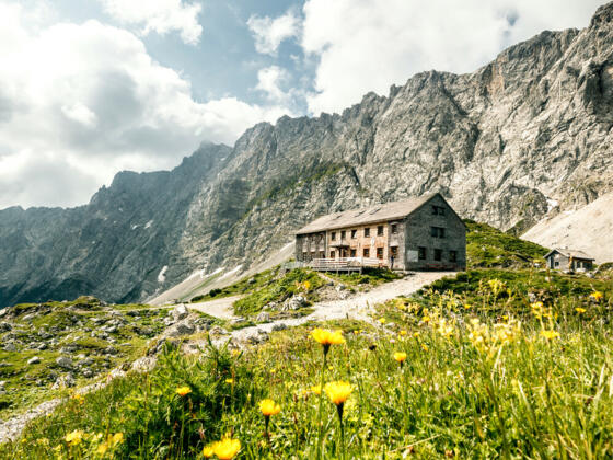
Across the Alps on the Via Alpina Red Trail

Quelle: EVAdinarica Project, Autor: EVA dinarica
Die Tour
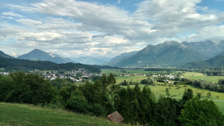
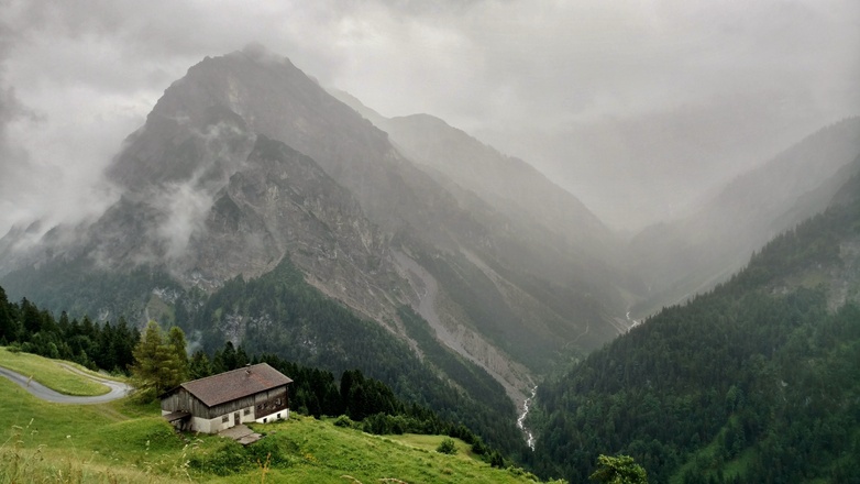
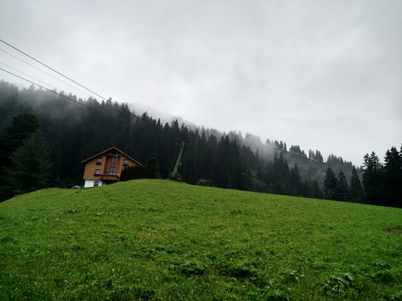
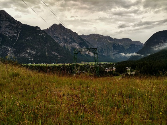
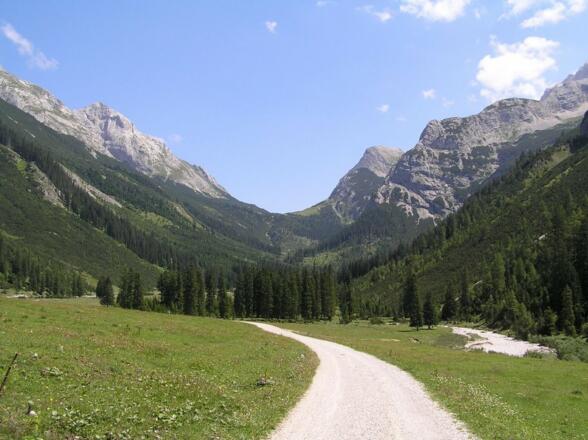
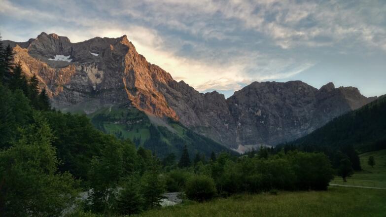
From Bregenz to Predjama, following the Via Alpina Red Trail.
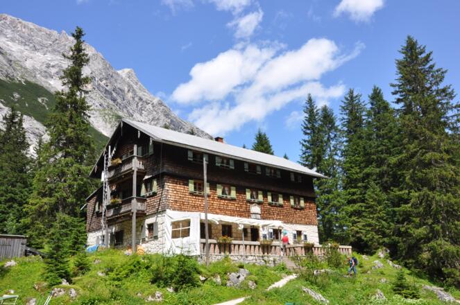
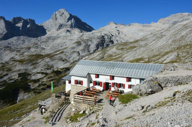
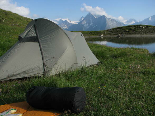
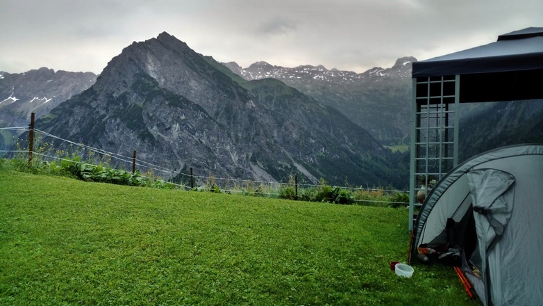
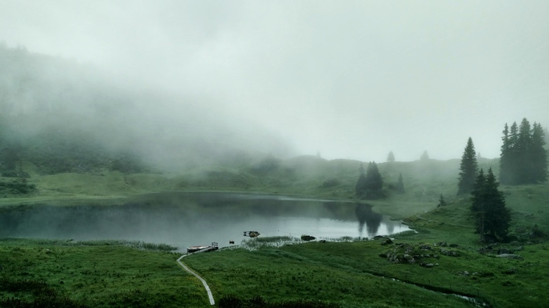
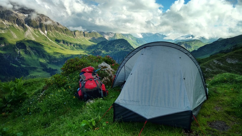
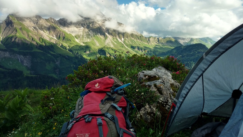
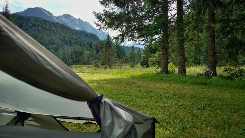
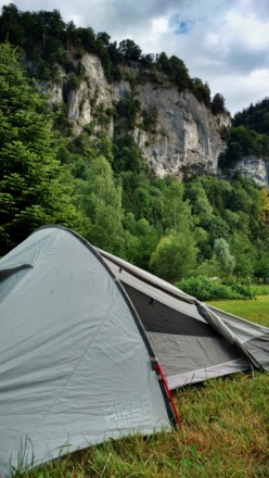
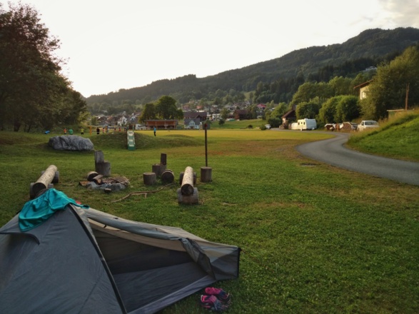
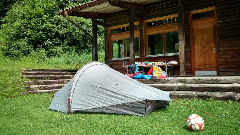
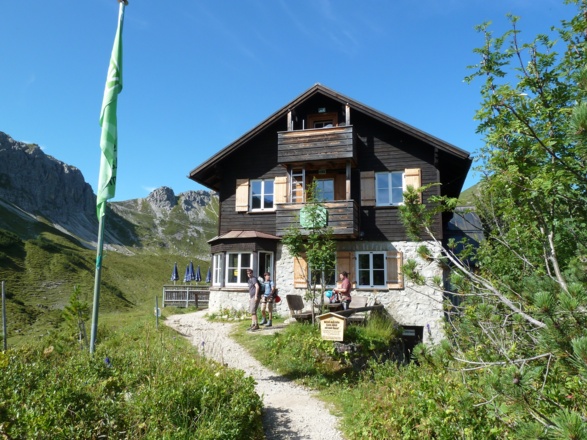
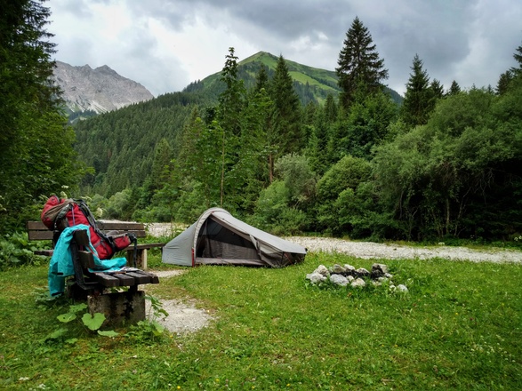
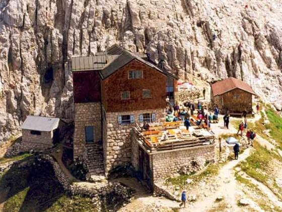
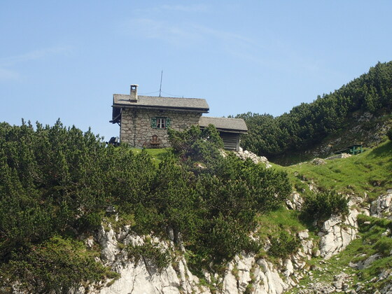
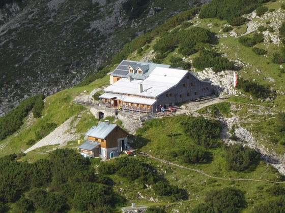
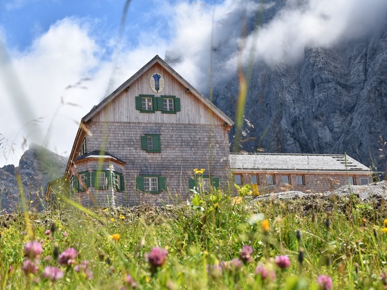
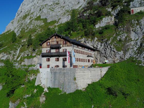
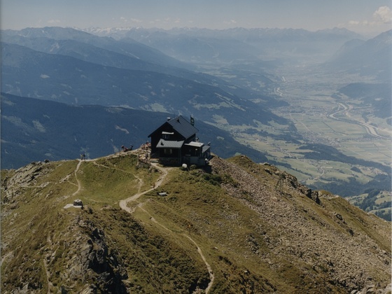
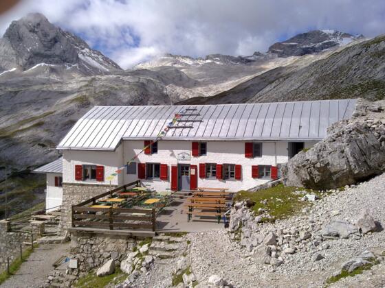
This tour is part of my hiking trip from Amsterdam to Sarajevo. I connected several long distance trails of which the Via Alpina Red Trail is one. I picked up the Via Alpina at Feldkirch and followed it until Predjama. Although wild camping is not allowed everywhere, I often got permission to put up my tent. I added my camping spots, just like the many mountain huts you'll find along the way. For detailed description, have a look on the Via Alpina page.
Complete list with daystages: Walking from Amsterdam to Sarajevo
My complete tours on Outdooractive:
For stories about my hike, check out my blog EVAdinarica Project.
Autorentipp
.
Info
Karte
Details
|
Kondition
|
|
|
Erlebnis
|
|
|
Landschaft
|
|
| Technik |
Beste Jahreszeit
Auf dem Weg entdecken
Wegbeschreibung
Start
Bregenz
Ziel
Predjama
Weg
For more information check this link: http://www.via-alpina.org/en/page/237/the-red-trail
Weitere Informationen
Stories on my BLOG:
Ausrüstung
GPS
Sicherheitshinweise
Although the route is well marked, a GPS makes it so much easier ánd lighter, because you can leave the maps and guide book at home.
